Now that I use Google Maps frequently whenever I’m heading somewhere, I've started discovering functions by accident. These are simple features that can be really useful, especially when you're walking to your destination.
One of these features is the ability to measure the distance between two points. Interestingly, the ‘Measure Distance’ option doesn’t appear when the device is online, so you’ll need to turn off Wi-Fi or mobile data to use this feature.
Here’s how to do it:
Open Google Maps and zoom in for better accuracy.
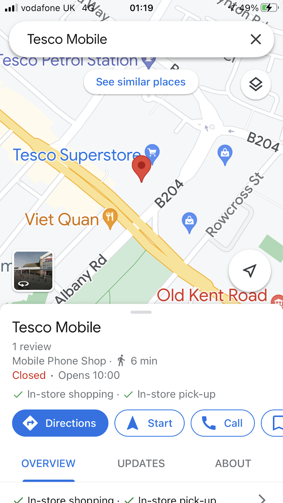
Drop a pin at your starting point by tapping lightly on the screen to activate the red location pin.
From there, you can continue measuring the distance to your destination!
Tap the ‘measure distance’ to anchor the dropped pin to the starting point.
At this point, you can either go back online or stay offline.
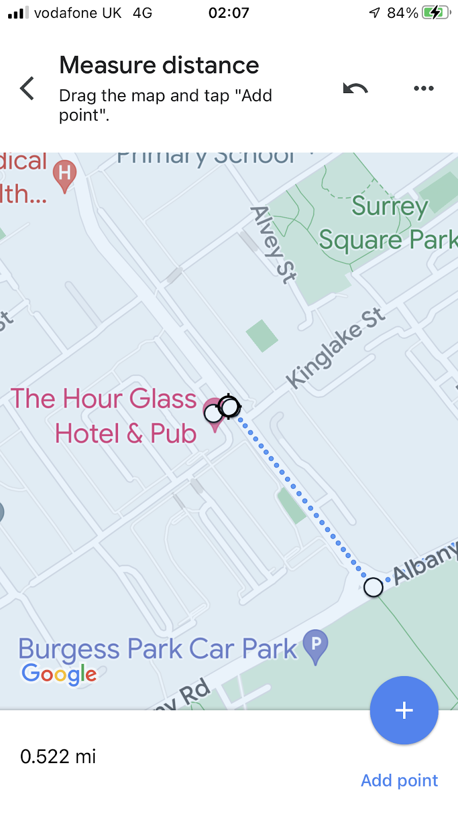
Next, drag the map towards your destination and position the movable target circle over the location. You’ll see the distance between the two points displayed in the lower-left corner of the screen, for example, 0.383 mi.
Here’s how to road map it.
Whilst dragging the map, place the first turn to the road you choose then tap the ‘plus button’ to anchor the first turning point.
The measurement is expectedly increased to 0.522 mi as the road map follows one of the roads rather than a straight line. The more presses of the ‘plus’ sign makes the measurement more accurate.
If you know how to initiate ‘measure distance’ whilst online, please share it at the comments box. Thanks.


No comments:
Post a Comment